Road Marker Views
Enter Road Address in your cars GPS: 520 E 13th St, Hibbing, MN 55746 OR Enter Geographical Coordinates in your cars GPS:
Degrees Lat Long: 47.434317, -92.937375
Latitude: 47°26’03.0″N
Longitude: 92°56’13.9″W
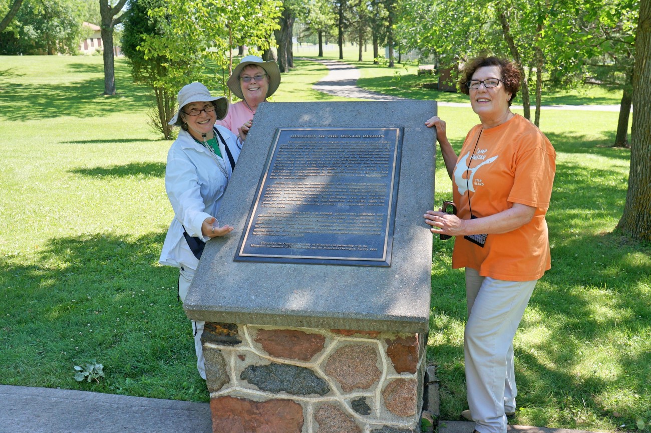
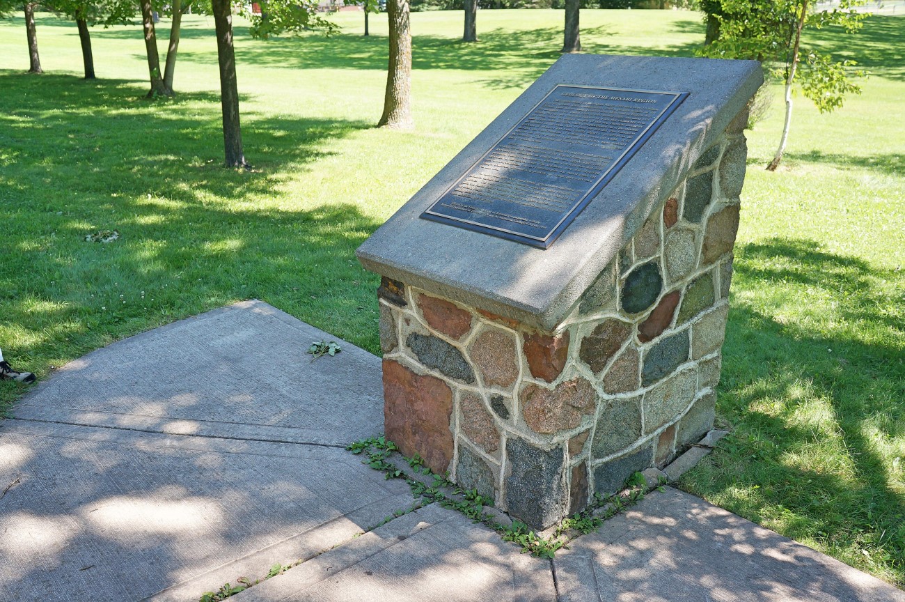
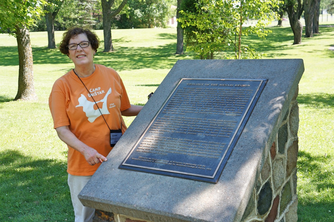
Located off U.S. highway 169 on 13th Street at the west end of Bennett Park in Hibbing
Just east of the picnic pavilion in Bennett Park and just north of a ballfield. It is about 400 feet east of 3RD Ave, and about 500 feet south of east 13th Street.
Marker Number:252 Marker Composition: Stone with Bronze plaques Text on Marker:
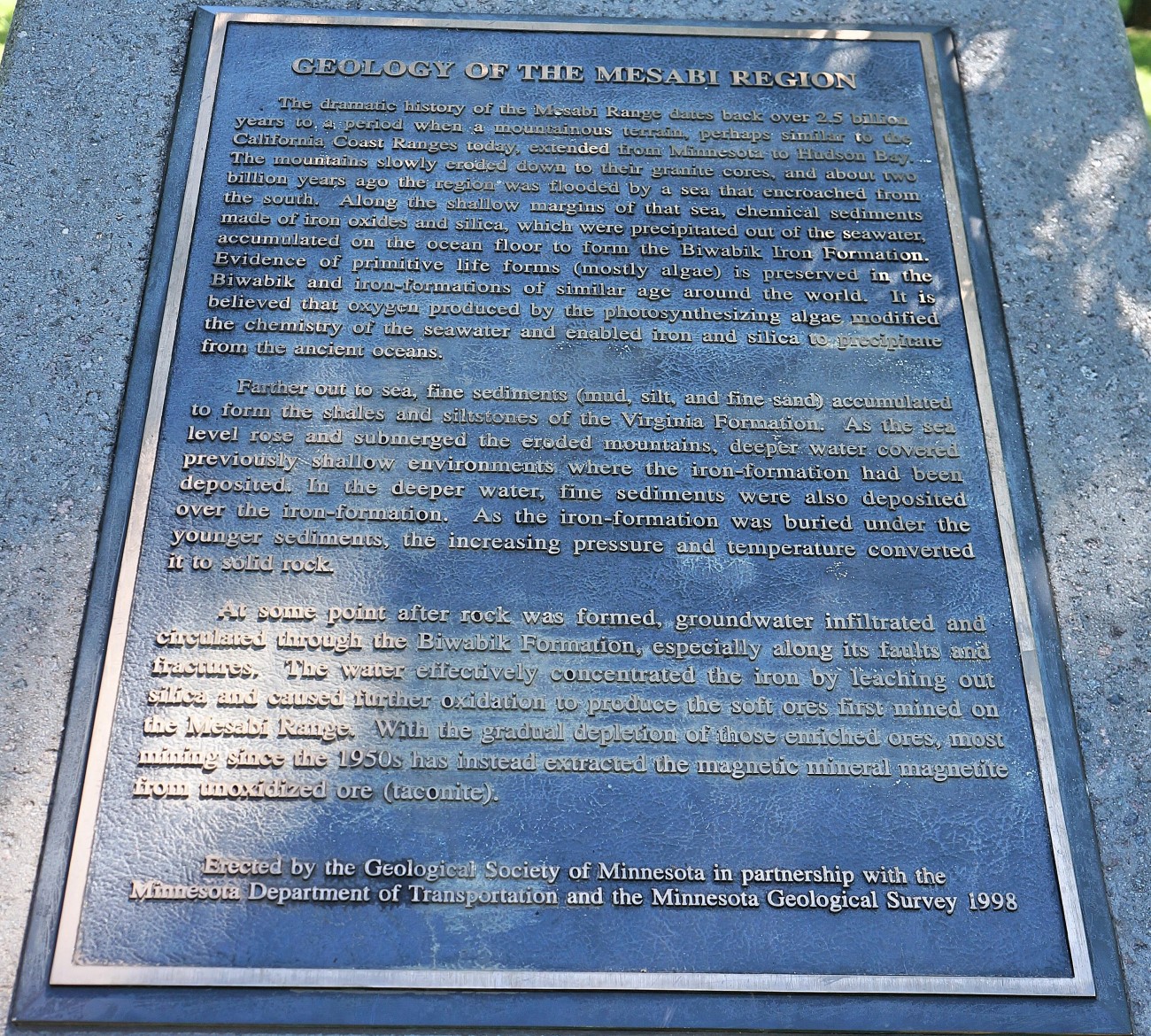
GEOLOGY OF THE MESABI REGION
The dramatic history of the Mesabi Range dates back over 2.5 billion years to a period when a mountainous terrain, perhaps similar to the California Coast Ranges today, extended from Minnesota to Hudson Bay. The mountains slowly eroded down to their granite cores, and about two billion years ago the region was flooded by a sea that encroached from the south. Along the shallow margins of that sea, chemical sediments made of iron oxides and silica, which were precipitated out of the seawater, accumulated on the ocean floor to form the Biwabik Iron Formation. Evidence of primitive life forms (mostly algae) is preserved in the Biwabik and iron formations of similar age around the world. It is believed that oxygen produced by the photosynthesizing algae modified the chemistry of the seawater and enabled iron and silica to precipitate from the ancient oceans.
Farther out to sea, fine sediments (mud, silt, and fine sand) accumulated to form the shales and silt-stones of the Virginia Formation. As the sea level rose and submerged the eroded mountains, deeper water covered previously shallow environments where the iron-formation had been deposited. In the deeper water, fine sediments were also deposited over the iron-formation. As the iron-formation was buried under the younger sediments, the increasing pressure and temperature converted it to solid rock.
At some point after rock was formed, groundwater infiltrated and circulated through the Biwabik Formation, especially along its faults and fractures. The water effectively concentrated the iron by leaching out silica and caused further oxidation to produce the soft ores first mined on the Mesabi Range. With the gradual depletion of those enriched ores, most mining since the 1950s has instead extracted the magnetic mineral magnetite from unoxidized ore (taconite).
Erected by the Geological Society of Minnesota in partnership with the Minnesota Department of Transportation and the Minnesota Geological Survey. 1998
Region: Northeast Region Date Updated: 6-12-25 Information Needed:
- Marker Images
Condition of Marker: Good Do it Yourself Region: Iron Range Verification: Patrick Steury
Enter Road Address in your cars GPS:
520 E 13th St, Hibbing, MN 55746
OR
Enter Geographical Coordinates in your cars GPS:
Degrees Lat Long: 47.434317, -92.937375
Latitude: 47°26’03.0″N
Longitude: 92°56’13.9″W
Country: Saint Louis County
Where Found:
Located off U.S. highway 169 on 13th Street at the west end of Bennett Park in Hibbing
Just east of the picnic pavilion in Bennett Park and just north of a ballfield. It is about 400 feet east of 3RD Ave, and about 500 feet south of east 13th Street.
Marker Number: 252
Marker Composition: Stone with Bronze plaques
Text on Marker:
GEOLOGY OF THE MESABI REGION
The dramatic history of the Mesabi Range dates back over 2.5 billion years to a period when a mountainous terrain, perhaps similar to the California Coast Ranges today, extended from Minnesota to Hudson Bay. The mountains slowly eroded down to their granite cores, and about two billion years ago the region was flooded by a sea that encroached from the south. Along the shallow margins of that sea, chemical sediments made of iron oxides and silica, which were precipitated out of the seawater, accumulated on the ocean floor to form the Biwabik Iron Formation. Evidence of primitive life forms (mostly algae) is preserved in the Biwabik and iron formations of similar age around the world. It is believed that oxygen produced by the photosynthesizing algae modified the chemistry of the seawater and enabled iron and silica to precipitate from the ancient oceans.
Farther out to sea, fine sediments (mud, silt, and fine sand) accumulated to form the shales and silt-stones of the Virginia Formation. As the sea level rose and submerged the eroded mountains, deeper water covered previously shallow environments where the iron-formation had been deposited. In the deeper water, fine sediments were also deposited over the iron-formation. As the iron-formation was buried under the younger sediments, the increasing pressure and temperature converted it to solid rock.
At some point after rock was formed, groundwater infiltrated and circulated through the Biwabik Formation, especially along its faults and fractures. The water effectively concentrated the iron by leaching out silica and caused further oxidation to produce the soft ores first mined on the Mesabi Range. With the gradual depletion of those enriched ores, most mining since the 1950s has instead extracted the magnetic mineral magnetite from unoxidized ore (taconite).
Erected by the Geological Society of Minnesota in partnership with the Minnesota Department of Transportation and the Minnesota Geological Survey. 1998
Region: Northeast Region
Date Updated: 6-12-25 Information Needed:
- Marker Images
Condition of Marker: Good
Do it Yourself Region: Iron Range
Verification: Patrick Steury