Road Marker Views
Enter Road Address in your cars GPS: 42721 County Rd 127, isle MN OR Enter Geographical Coordinates in your cars GPS:
Degrees Lat Long: 46.164348, -93.470936
Latitude: 46°09’51.7″N
Longitude: 93°28’15.4″W
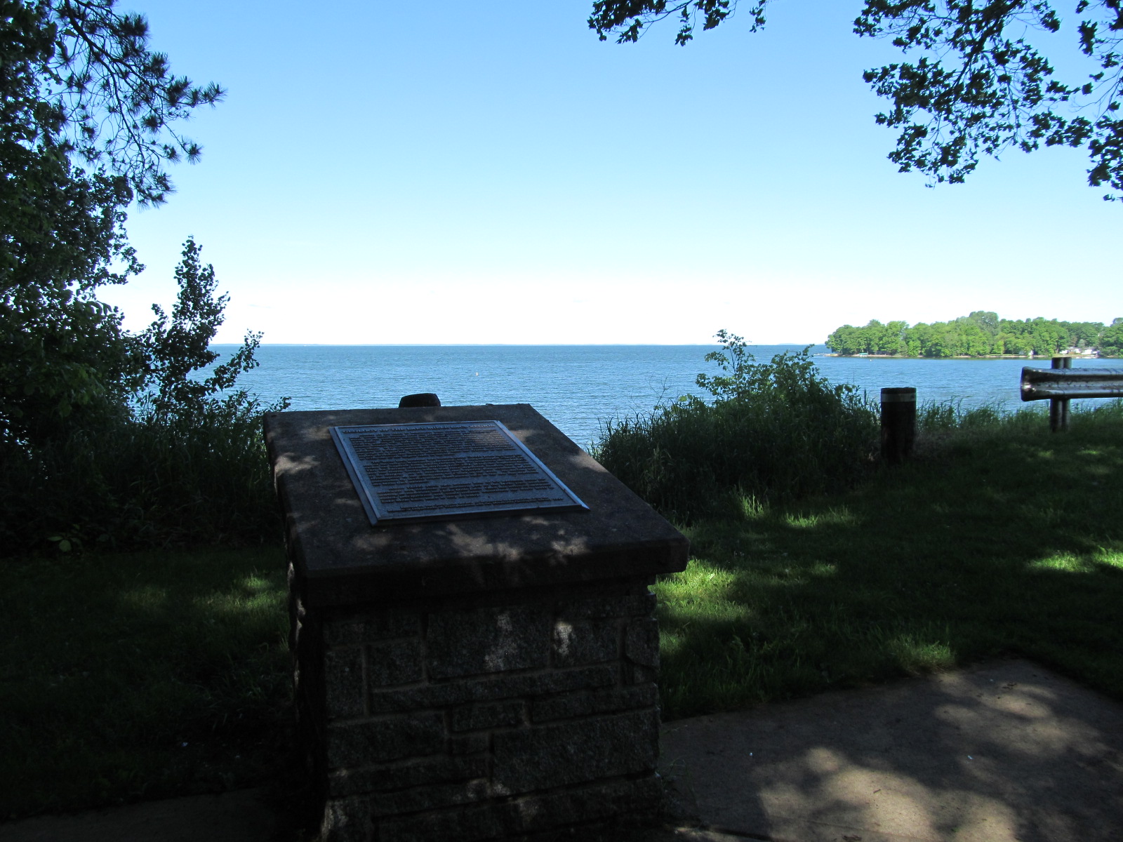
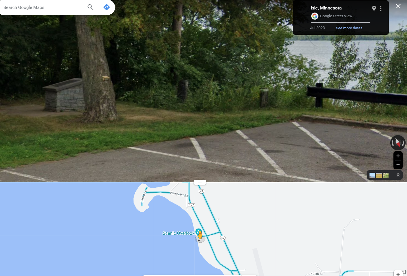
Located on state highway 47 at a scenic overlook 2 miles north of Isle on the eastern shore of Lake Mille Lacs
Marker Number:306 Marker Composition: Stone with Bronze plaques Text on Marker:
GEOLOGY OF LAKE MILLE LACS
This part of Minnesota was covered by glacial ice a kilo-meter or more thick at least four times during the last million years. As the glaciers moved in from Canada, they brought with them enormous quantities of glacial drift (silt, sand, gravel, and boulders) that was deposited under the ice and at its margin, in sheets or in irregular hills and depressions.
About 15,000 years ago, near the end of the last, or Wisconsin, glaciation, a tongue-shaped lobe of ice, called the Superior lobe, advanced into this area from the Lake Superior region. During the final decline of this ice lobe, it temporarily advanced again; and at its point of furthest progress, it deposited a pile of drift, called an end moraine, along its margin. This end moraine encircles Lake Mille Lacs on the north, west, and south. With the land on the eastern shore already of higher elevation, the moraine blocked the drainage to the south. As a result, the bounded area was flooded, and one of the largest lakes in the state was formed.
Mille Lacs is 29 kilometers long and 22 kilometers wide. Its surface is 381 meters above sea level, and its depth of 8 to 11 meters is rather uniform throughout. Overflow from the lake is discharged to the south through the Rum River, which flows from Vineland about 112 kilometers to Anoka, where it empties into the Mississippi River.
Erected by the Geological Society of Minnesota in partnership with the Minnesota Department of Transportation, the Minnesota Geological Survey, and the Minnesota Department of Natural Resources. 1998
Region: North Central/West Region Date Updated: 6-12-25 Information Needed:
- Marker Images
Condition of Marker: Good Do it Yourself Region: Brainerd-Mille Lacs Verification: Patrick Steury
Enter Road Address in your cars GPS:
42721 County Rd 127, isle MN
OR
Enter Geographical Coordinates in your cars GPS:
Degrees Lat Long: 46.164348, -93.470936
Latitude: 46°09’51.7″N
Longitude: 93°28’15.4″W
Country: Mille Lacs County
Where Found:
Located on state highway 47 at a scenic overlook 2 miles north of Isle on the eastern shore of Lake Mille Lacs
Marker Number: 306
Marker Composition: Stone with Bronze plaques
Text on Marker:
GEOLOGY OF LAKE MILLE LACS
This part of Minnesota was covered by glacial ice a kilo-meter or more thick at least four times during the last million years. As the glaciers moved in from Canada, they brought with them enormous quantities of glacial drift (silt, sand, gravel, and boulders) that was deposited under the ice and at its margin, in sheets or in irregular hills and depressions.
About 15,000 years ago, near the end of the last, or Wisconsin, glaciation, a tongue-shaped lobe of ice, called the Superior lobe, advanced into this area from the Lake Superior region. During the final decline of this ice lobe, it temporarily advanced again; and at its point of furthest progress, it deposited a pile of drift, called an end moraine, along its margin. This end moraine encircles Lake Mille Lacs on the north, west, and south. With the land on the eastern shore already of higher elevation, the moraine blocked the drainage to the south. As a result, the bounded area was flooded, and one of the largest lakes in the state was formed.
Mille Lacs is 29 kilometers long and 22 kilometers wide. Its surface is 381 meters above sea level, and its depth of 8 to 11 meters is rather uniform throughout. Overflow from the lake is discharged to the south through the Rum River, which flows from Vineland about 112 kilometers to Anoka, where it empties into the Mississippi River.
Erected by the Geological Society of Minnesota in partnership with the Minnesota Department of Transportation, the Minnesota Geological Survey, and the Minnesota Department of Natural Resources. 1998
Region: North Central/West Region
Date Updated: 6-12-25 Information Needed:
- Marker Images
Condition of Marker: Good
Do it Yourself Region: Brainerd-Mille Lacs
Verification: Patrick Steury