Road Marker Views
Description:
Enter Road Address in your cars GPS: 501 11th St W Hastings, Minnesota OR Enter Geographical Coordinates in your cars GPS:
Degrees Minutes: 44.7364518,-92.8581514
Latitude: 44° 44’ 8.688” N
Longitude: 92° 51’ 28.530” W
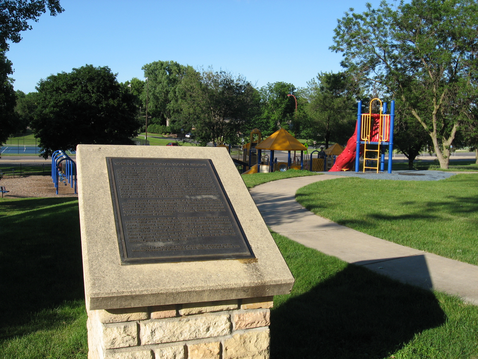
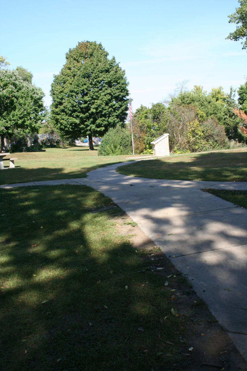
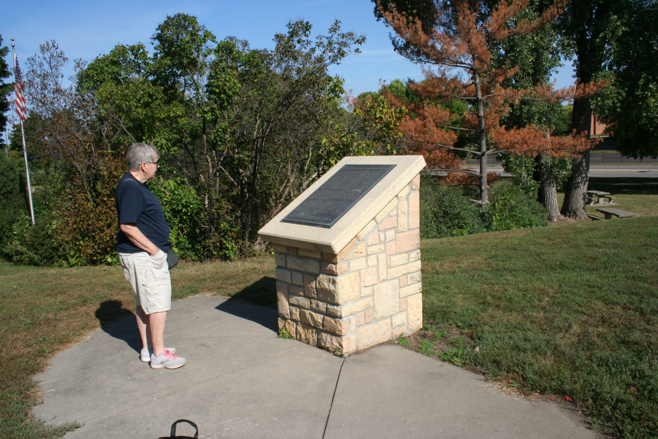
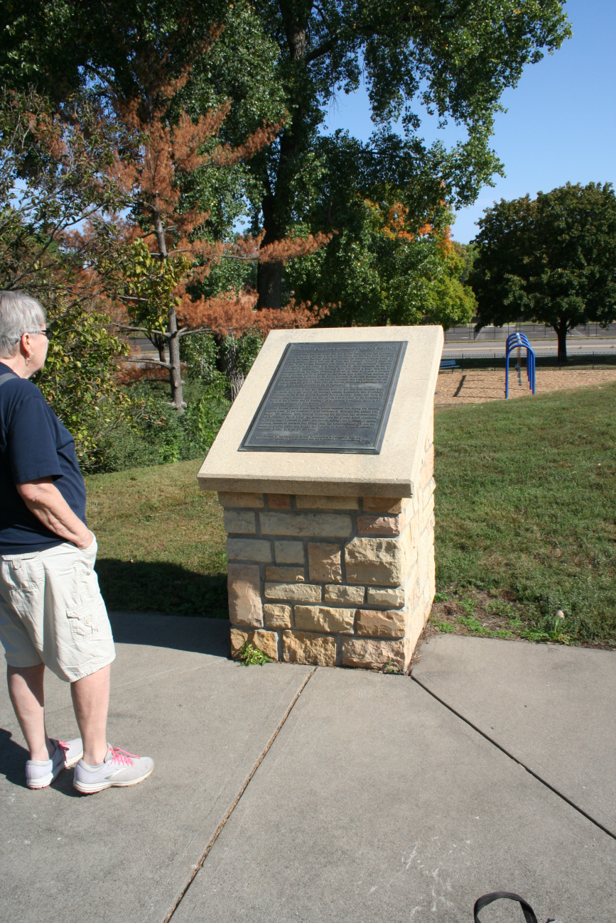

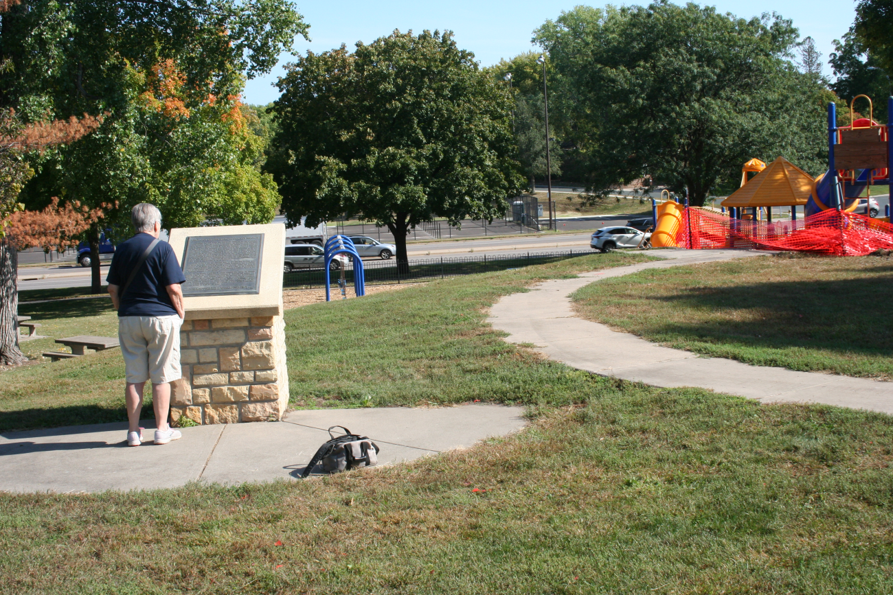
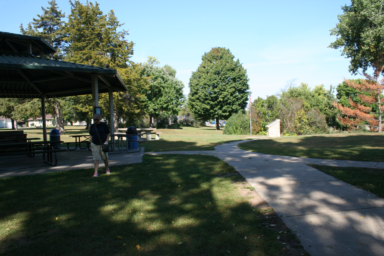
Located in a wayside park near the junction of U.S. highway 61 and state highway 55 in Hastings In a park by state highway 55 and Ashland St.
Marker Number:15 Marker Composition: Stone with Bronze plaques Text on Marker:
DAKOTA COUNTY REGION
Hastings lies just south and east of the limits of the last glaciation. About 20,000 years ago a lobe of ice, called the Superior lobe, advanced from the Lake Superior basin and crossed the ancient bedrock valley of the Mississippi River between St. Paul and Hastings. There it filled the valley with ice and sediment (silt, sand, gravel, and boulders). Glacial ice trapped in the valley was then covered by more sediment as the ice lobe slowly receded. The melting lobe deposited a large amount of sediment along its edge, creating a swath of hills of which a portion curves around the Twin Cities on the south and west. This deposit of glacial sediment is called the St. Croix moraine. Meltwater streams flowed out from the Superior lobe, breached the moraine, and built a broad outwash plain of sand and gravel. This outwash deposit buried the Mississippi River valley south of the moraine as far as Hastings.
About 16,000 years ago another lobe of ice, the Des, Moines lobe, advanced from the northwest through central Minnesota and eventually extended as far south as Des Moines, Iowa. Locally, meltwater from its eastern margin drained eastward and carved a river valley to the Mississippi River at the present site of Hastings. The modern Vermillion River is but a shrunken remnant of that stream.
Ice blocks buried within the St. Croix moraine and filling the ancient bedrock valley of the Mississippi were insulated by sediment and melted very slowly. Eventually, their melting collapsed the moraine and re-established the Mississippi River valley for drainage. As the glacial lobes continued to recede, large volumes of meltwater flowed through the Mississippi again, forming numerous terraces and re-exposing the bedrock valley. When the influx of glacial meltwater ended, the volume of water in the Mississippi decreased greatly to what we see today.
Erected by the Geological Society of Minnesota in partnership with the Minnesota Department of Transportation and the Minnesota Geological Survey. 1998
Region: Metro Region Date Updated: 6-12-25 Information Needed:
- Marker Images
Condition of Marker: Good Do it Yourself Region: Mississippi River Valley Verification: Patrick Steury
Description:
Enter Road Address in your cars GPS:
501 11th St W Hastings, Minnesota
OR
Enter Geographical Coordinates in your cars GPS:
Degrees Minutes: 44.7364518,-92.8581514
Latitude: 44° 44’ 8.688” N
Longitude: 92° 51’ 28.530” W
Country: Dakota County
Where Found:
Located in a wayside park near the junction of U.S. highway 61 and state highway 55 in Hastings In a park by state highway 55 and Ashland St.
Marker Number: 15
Marker Composition: Stone with Bronze plaques
Text on Marker:
DAKOTA COUNTY REGION
Hastings lies just south and east of the limits of the last glaciation. About 20,000 years ago a lobe of ice, called the Superior lobe, advanced from the Lake Superior basin and crossed the ancient bedrock valley of the Mississippi River between St. Paul and Hastings. There it filled the valley with ice and sediment (silt, sand, gravel, and boulders). Glacial ice trapped in the valley was then covered by more sediment as the ice lobe slowly receded. The melting lobe deposited a large amount of sediment along its edge, creating a swath of hills of which a portion curves around the Twin Cities on the south and west. This deposit of glacial sediment is called the St. Croix moraine. Meltwater streams flowed out from the Superior lobe, breached the moraine, and built a broad outwash plain of sand and gravel. This outwash deposit buried the Mississippi River valley south of the moraine as far as Hastings.
About 16,000 years ago another lobe of ice, the Des, Moines lobe, advanced from the northwest through central Minnesota and eventually extended as far south as Des Moines, Iowa. Locally, meltwater from its eastern margin drained eastward and carved a river valley to the Mississippi River at the present site of Hastings. The modern Vermillion River is but a shrunken remnant of that stream.
Ice blocks buried within the St. Croix moraine and filling the ancient bedrock valley of the Mississippi were insulated by sediment and melted very slowly. Eventually, their melting collapsed the moraine and re-established the Mississippi River valley for drainage. As the glacial lobes continued to recede, large volumes of meltwater flowed through the Mississippi again, forming numerous terraces and re-exposing the bedrock valley. When the influx of glacial meltwater ended, the volume of water in the Mississippi decreased greatly to what we see today.
Erected by the Geological Society of Minnesota in partnership with the Minnesota Department of Transportation and the Minnesota Geological Survey. 1998
Region: Metro Region
Date Updated: 6-12-25 Information Needed:
- Marker Images
Condition of Marker: Good
Do it Yourself Region: Mississippi River Valley
Verification: Patrick Steury