Road Marker Information
Description:
Enter Road Address in your cars GPS:
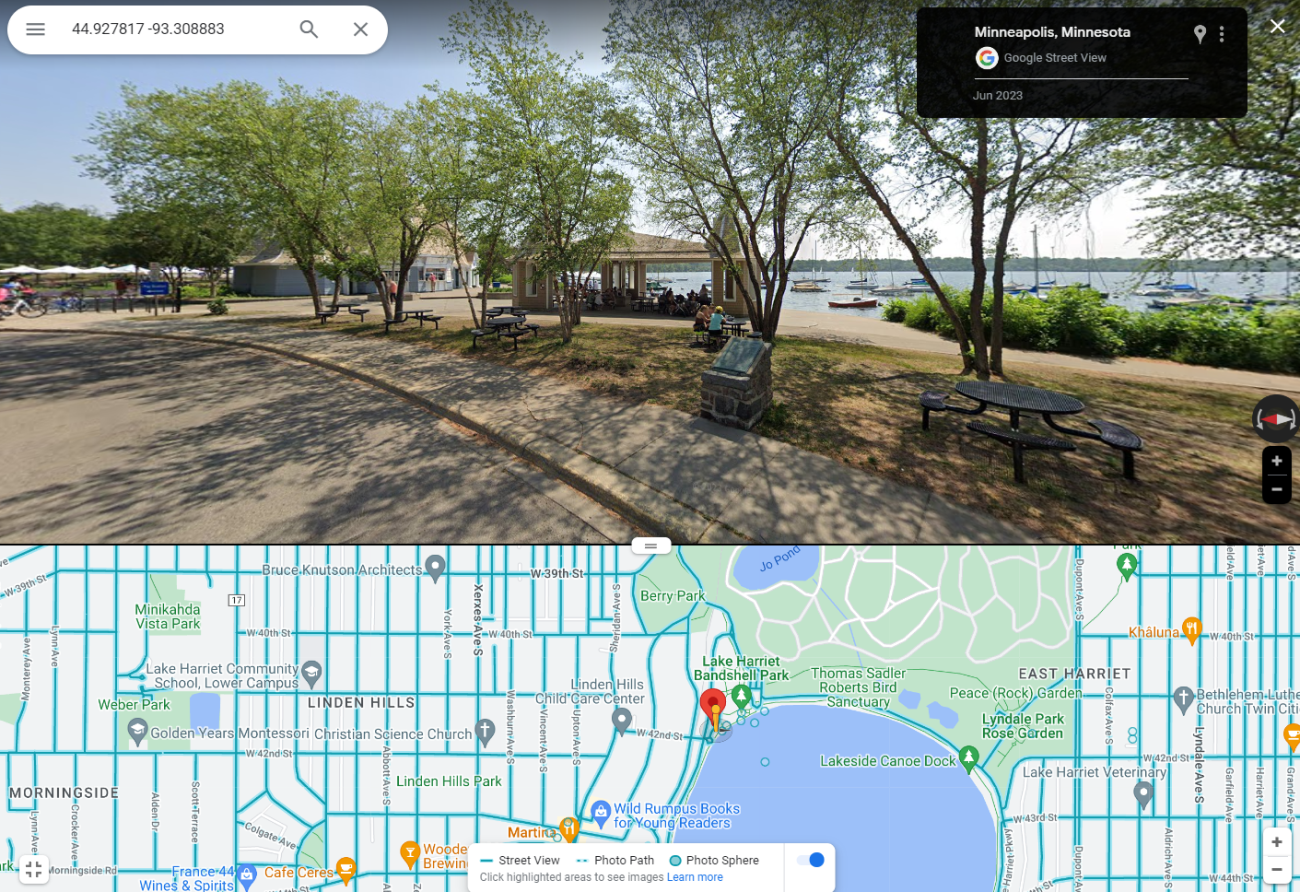
4145 W Lake Harriet Pkwy, Minneapolis, MN 55419
OR
Enter Geographical Coordinates in your cars GPS:
Degrees Lat Long: 44.927817, -93.308883
Latitude: 44°55’40.1″N
Longitude: 93°18’32.0″W
Country: Hennepin County
Where Found:
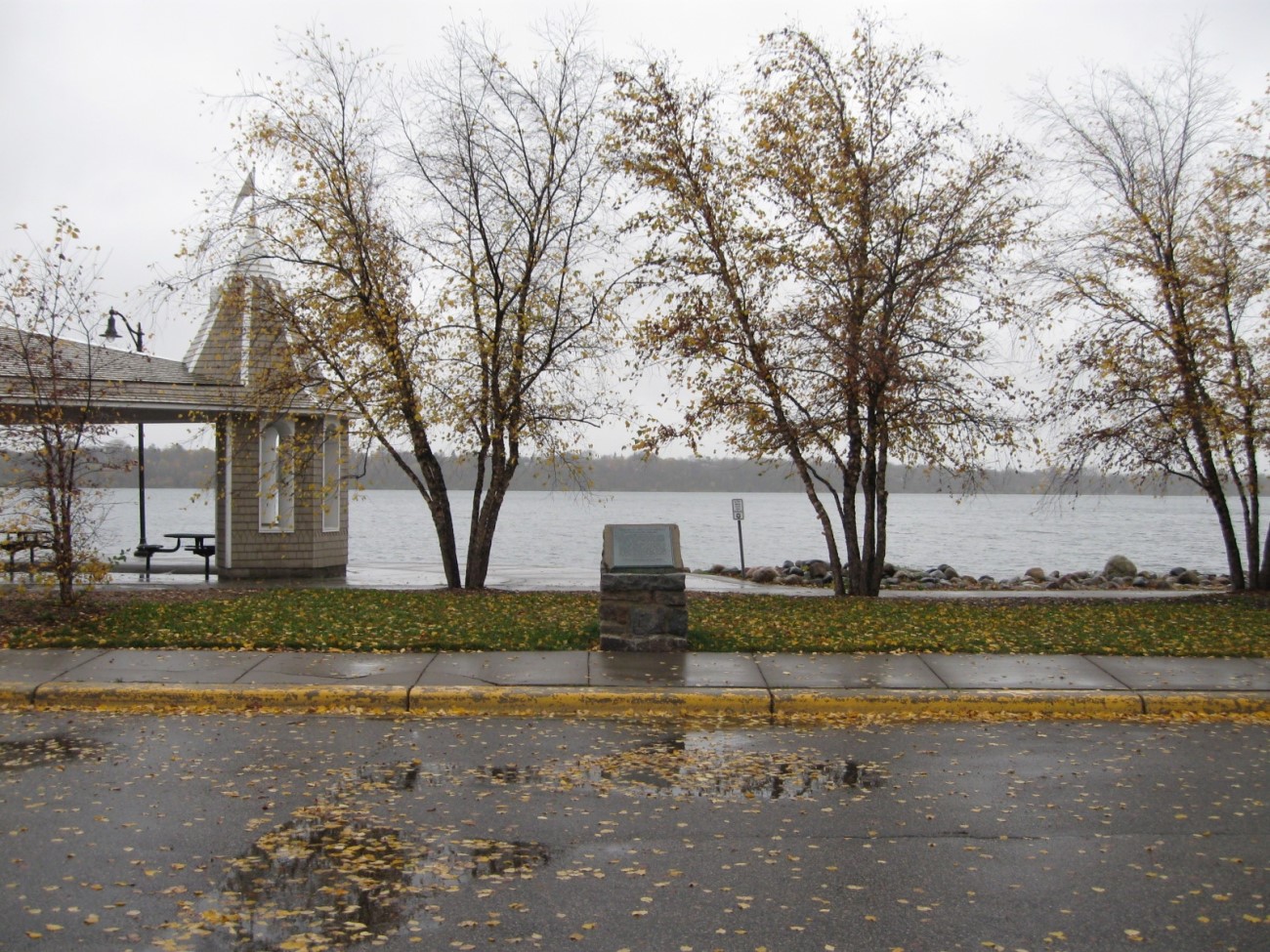
Located in Minneapolis on the northwest shore of Lake Harriet, near the intersection of West Lake Harriet Parkway and West 42nd Avenue in Minneapolis. Just west of the picnic table shelter which is next to the food concession stand of Lake Harriet Park.
Marker Number:26
Marker Composition: Stone with Bronze plaques
Text on Marker:
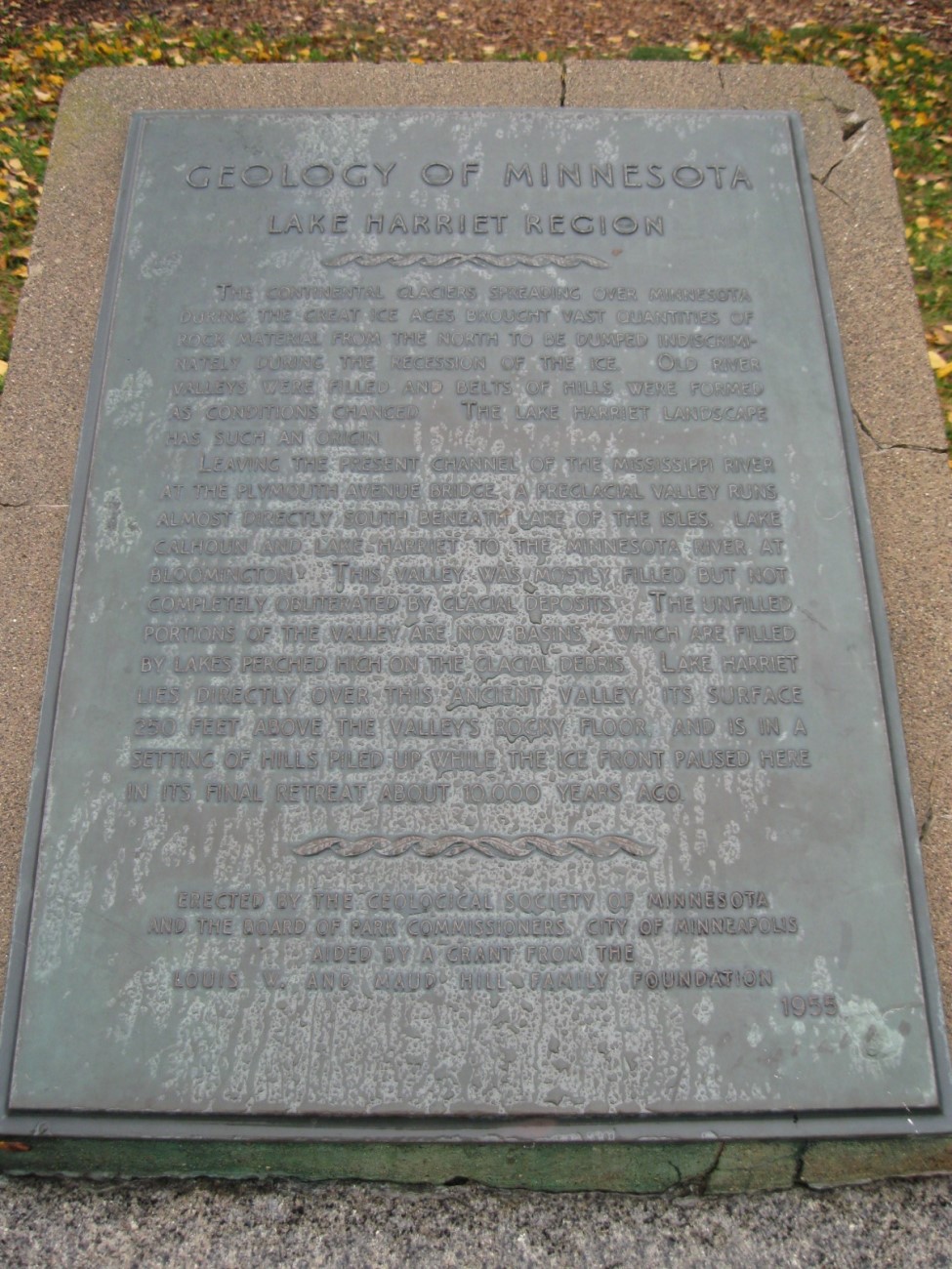
LAKE HARRIET REGION
The continental glaciers spreading over Minnesota during the great ice ages brought vast quantities of rock material from the north to be dumped indiscriminately during the recession of the ice. Old river valleys were filled and belts of hills were formed as conditions changed. The Lake Harriet landscape has such an origin.
Leaving the present channel of the Mississippi River at the Plymouth Avenue bridge, a pre glacial valley runs almost directly south beneath Lake of the Isles, Lake Calhoun and Lake Harriet to the Minnesota River at Bloomington. This valley was mostly filled but not completely obliterated by glacial deposits. The unfilled portions of the valley are now basins, which are filled by lakes perched high on the glacial debris. Lake Harriet lies directly over this ancient valley, its surface 250 feet above the valley’s rocky floor, and is in a setting of hills piled up while the ice front paused here in its final retreat about 10,000 years ago.
Erected by the Geological Society of Minnesota and the Board of Park Commissioners, City of Minneapolis aided by a grant from the Louis W. and Maud Hill Family Foundation. 1955
Region: Metro Region
Date Updated: 20170227
Information Needed:
- Marker Images
Condition of Marker: Good
Do it Yourself Region: Metro Area
Verification: Done – Bennyonbeacon@comcast.net


