Road Marker Information
Description:
Enter Road Address in your cars GPS:
Wrenshall Scenic Overlook, Wrenshall, MN 55797 or 1875 Veterans Evergreen Mem Dr, Wrenshall, MN 55797
OR
Enter Geographical Coordinates in your cars GPS:
Degrees Lat Long : 46.638275, -92.315247
Latitude: 46°38’17.8″N
Longitude: 92°18’54.9″W
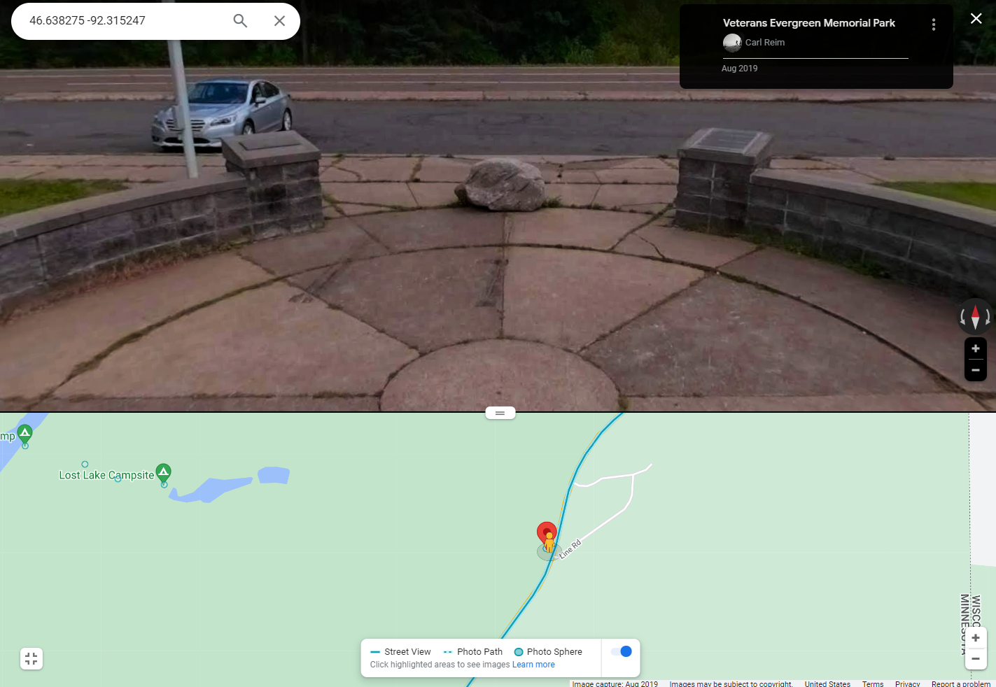
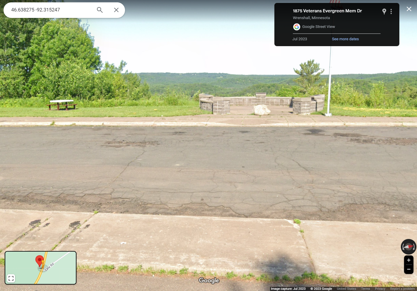
Country: Carlton County
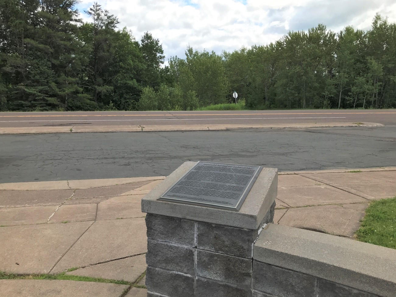
Where Found:
- In Wrenshall, from the intersection of County Road 18 and Minnesota Highway 23, travel north 1.5 miles to the DOT Overlook which is a Veterans’ Memorial. The Memorial is the location of the GSM Marker.
- Alternatively, from the Fon du Lac neighborhood of Duluth, travel south 2.3 miles from the intersection of Minnesota Highway 23 and Minnesota Highway 210. Park at the DOT Overlook.
Marker Number:204
Marker Composition: Stone with Bronze plaques
Text on Marker:
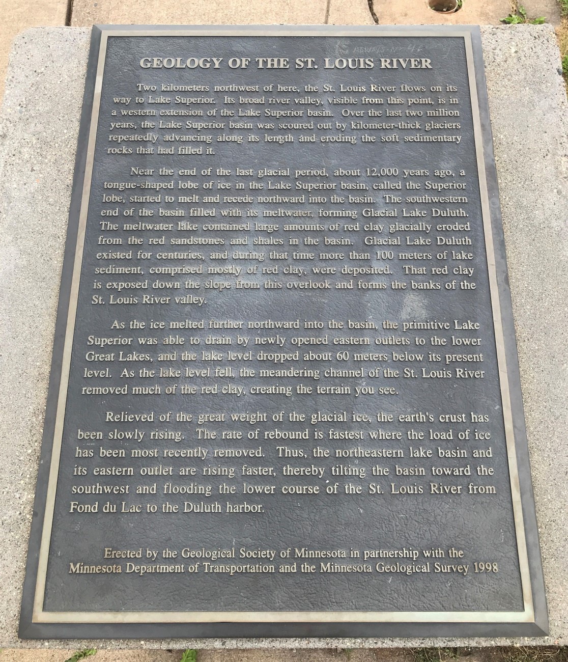
GEOLOGY OF THE ST. LOUIS RIVER
Two kilometers northwest of here, the St. Louis River flows on its way to Lake Superior. Its broad river valley, visible from this point, is in a western extension of the Lake Superior basin. Over the last two million years, the Lake Superior basin was scoured out by kilometer thick glaciers repeatedly advancing along its length and eroding the soft sedimentary rocks that had filled it.
Near the end of the last glacial period, about 12,000 years ago, a tongue-shaped lobe of ice in the Lake Superior basin, called the Superior lobe, started to melt and recede northward into the basin. The south-western end of the basin filled with its meltwater, forming Glacial Lake Duluth. The melt water lake contained large amounts of red clay glacially eroded from the red sandstones and shales in the basin. Glacial Lake Duluth existed for centuries, and during that time more than 100 meters of lake sediment, comprised mostly of red clay, were deposited. That red clay is exposed down the slope from this overlook and forms the banks of the St. Louis River valley.
As the ice melted further northward into the basin, the primitive Lake Superior was able to drain by newly opened eastern outlets to the lower Great Lakes, and the lake level dropped about 60 meters below its present level. As the lake level fell, the meandering channel of the St. Louis River removed much of the red clay, creating the terrain you see.
Relieved of the great weight of the glacial ice, the earth’s crust has been slowly rising. The rate of rebound is fastest where the load of ice has been most recently removed. Thus, the northeastern lake basin and its eastern outlet are rising faster, thereby tilting the basin toward the southwest and flooding the lower course of the St. Louis River from Fond du Lac to the Duluth harbor.
Erected by the Geological Society of Minnesota in partnership with the Minnesota Department of Transportation and the Minnesota Geological Survey. 1998
Region: Northeast Region
Date Updated: 6-12-25
Information Needed:
- Marker Images
Condition of Marker: Good
Do it Yourself Region: North Shore, Route 35 North
Verification: Patrick Steury