Road Marker Information
Description:
Enter Road Address in your cars GPS:
E Mathews, Lake Benton, Minnesota
OR
Enter Geographical Coordinates in your cars GPS:
Degrees Lat Long: 44.265300, -96.287320
Latitude: 44°15’55.1″N
Longitude: 96°17’14.4″W
Country: Lincoln County
Where Found:
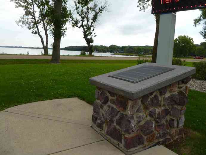
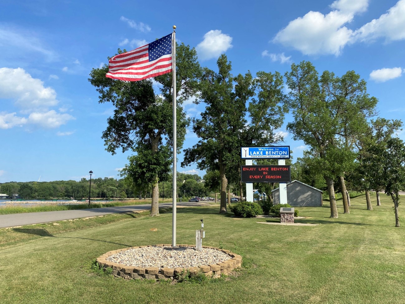
Marker is in Lake Benton, Minnesota, in Lincoln County. Marker is at the intersection of Lakeshore Drive and U.S. 75, on the right when traveling south on Lakeshore Drive.
Marker Number:116
Marker Composition: Stone with Bronze plaques
Text on Marker:
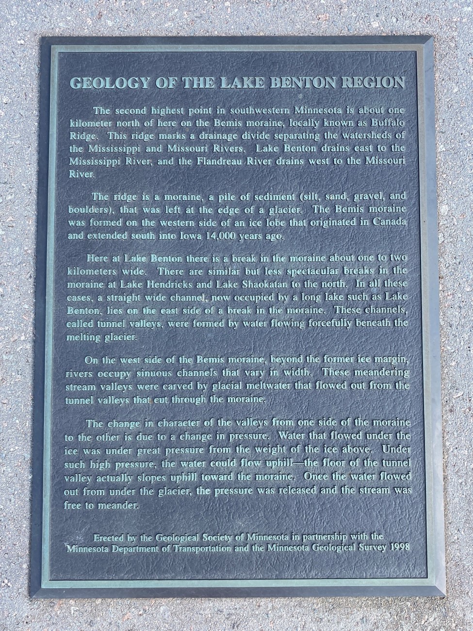
GEOLOGY OF THE LAKE BENTON REGION
The second highest point in southwestern Minnesota is about one kilometer north of here on the Bemis moraine, locally known as Buffalo Ridge. This ridge marks a drainage divide separating the watersheds of the Mississippi and Missouri Rivers. Lake Benton drains east to the Mississippi River, and the Flandreau River drains west to the Missouri River.
The ridge is a moraine, a pile of sediment (silt, sand, gravel, and boulders), that was left at the edge of a glacier. The Bemis moraine was formed on the western side of an ice lobe that originated in Canada and extended south into Iowa 14,000 years ago.
Here at Lake Benton there is a break in the moraine about one to two kilometers wide. There are similar but less spectacular breaks in the moraine at Lake Hendricks and Lake Shaokatan to the north. In all these cases, a straight wide channel, now occupied by a long lake such as Lake Benton, lies on the east side of a break in the moraine. These channels, called tunnel valleys, were formed by water flowing forcefully beneath the melting glacier.
On the west side of the Bemis moraine, beyond the former ice margin, rivers occupy sinuous channels that vary in width. These meandering stream valleys were carved by glacial meltwater that flowed out from the tunnel valleys that cut through the moraine.
The change in character of the valleys from one side of the moraine to the other is due to a change in pressure. Water that flowed under the ice was under great pressure from the weight of the ice above. Under such high pressure, the water could flow uphill—the floor of the tunnel valley actually slopes uphill toward the moraine. Once the water flowed out from under the glacier, the pressure was released and the stream was free to meander.
Erected by the Geological Society of Minnesota in partnership with the Minnesota Department of Transportation and the Minnesota Geological Survey. 1998
Region: South Central/West Region
Date Updated: 6-12-25
Information Needed:
- Marker Images
Condition of Marker: Good
Do it Yourself Region: Southwest Corner
Verification: Patrick Steury