Road Marker Views
Description:
Enter Road Address in your cars GPS: 3206 MN-61, Two Harbors, MN 55616 OR Enter Geographical Coordinates in your cars GPS:
Degrees Lat Long : 47.1429500°, -091.4686333°
Latitude: 47° 8.577′ N,
Longitude: 91° 28.118′ W

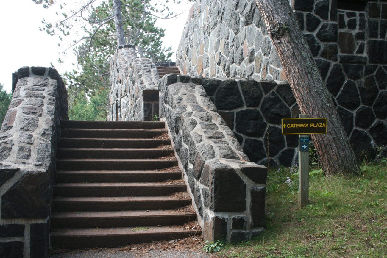
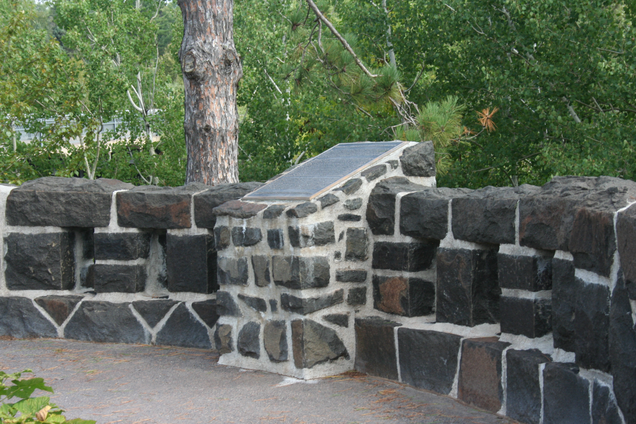

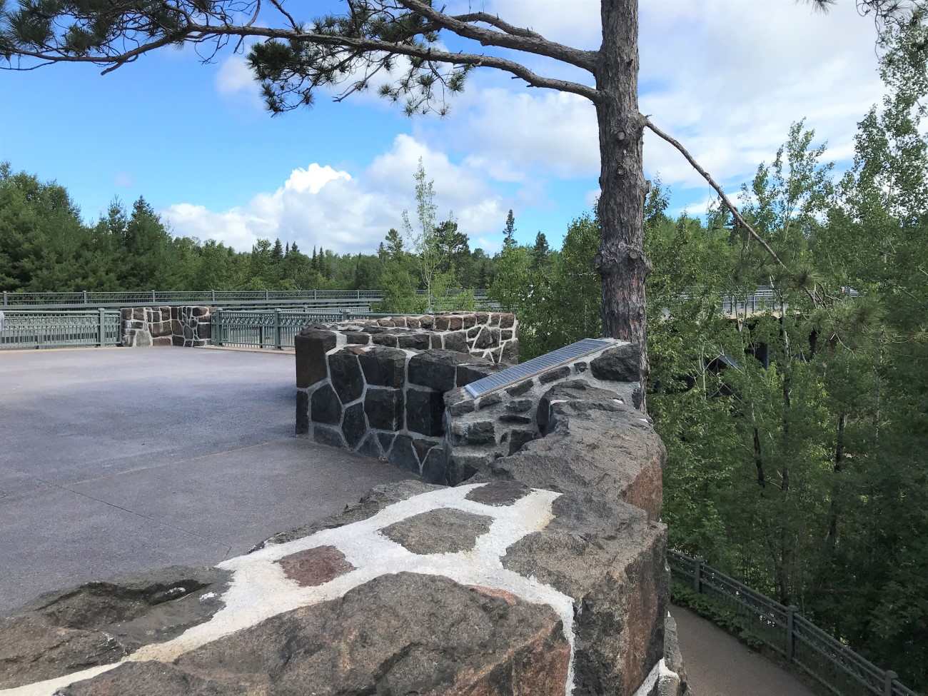
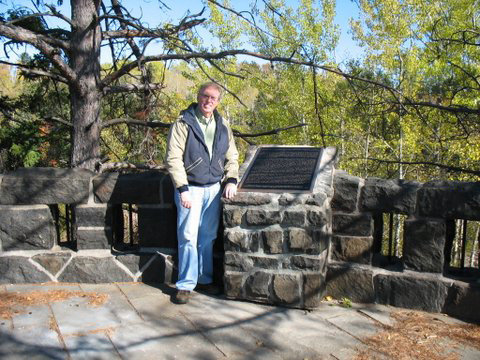
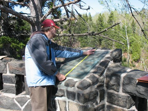
Marker is near Two Harbors, Minnesota, in Lake County. Located in Gooseberry Falls State Park in Gateway Plaza.
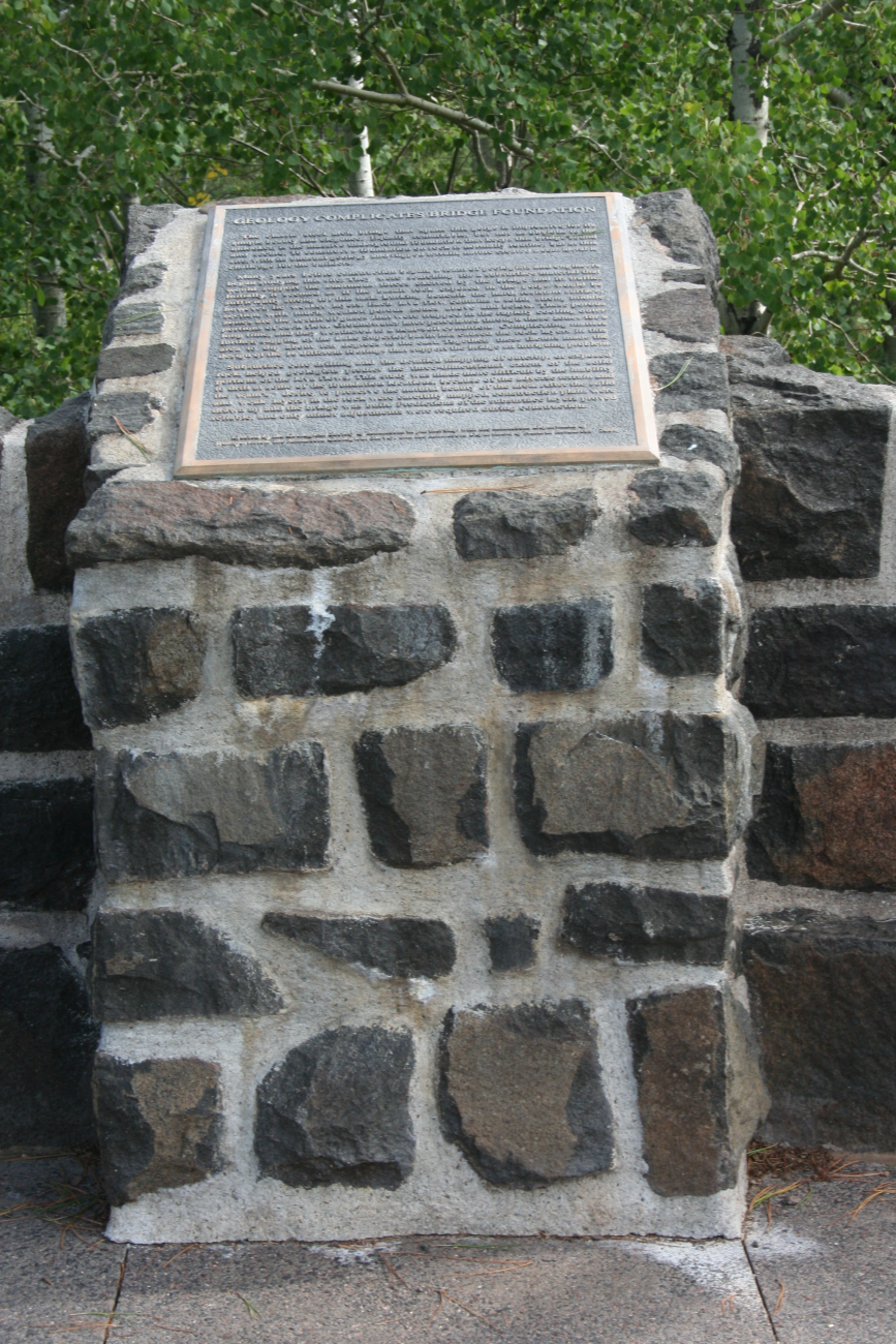
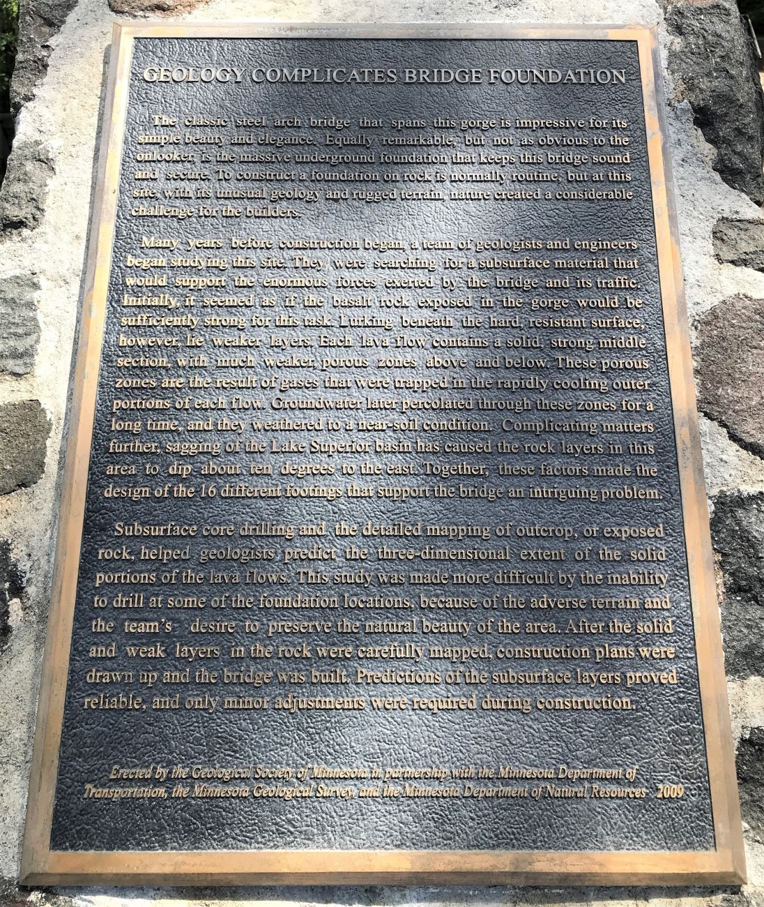
Marker Number:231 Marker Composition: Stone with Bronze plaques Text on Marker:
GEOLOGY COMPLICATES BRIDGE FOUNDATION
The classic steel arch bridge that spans this gorge is impressive for its simple beauty and elegance. Equally remarkable, but not as obvious to the onlooker, is the massive underground foundation that keeps this bridge sound and secure. To construct a foundation on rock is normally routine, but at this site, with its unusual geology and rugged terrain, nature created a considerable challenge for the builders.
Many years before construction began, a team of geologists and engineers began studying this site. They were searching for a subsurface material that would support the enormous forces exerted by the bridge and its traffic. Initially, it seemed as if the basalt rock ex-posed in the gorge would be sufficiently strong for this task. Lurking beneath the hard, resistant surface, however, lie weaker layers. Each lava flow contains a solid, strong middle section, with much weaker, porous zones above and below. These porous zones are the result of gases that were trapped in the rapidly cooling outer portions of each flow. Groundwater later percolated through these zones for a long time, and they weathered to a near-soil condition. Complicating matters further, sagging of the Lake Superior basin has caused the rock layers in this area to dip about ten degrees to the east. Together, these factors made the design of the 16 different footings that support the bridge an intriguing problem.
Subsurface core drilling and the detailed mapping of outcrop, or exposed rock, helped geologists predict the three-dimensional extent of the solid portions of the lava flows. This study was made more difficult by the inability to drill at some of the foundation locations, because of the adverse terrain and the team’s desire to preserve the natural beauty of the area. After the solid and weak layers in the rock were carefully mapped, construction plans were drawn up and the bridge was built. Predictions of the subsurface layers proved reliable, and only minor adjustments were required during construction.
Erected by the Geological Society of Minnesota in partnership with the Minnesota Department of Transportation and the Minnesota Department of Natural Resources. 2003
Region: Northeast Region Date Updated: 6-12-25 Information Needed:
- Marker Images
Condition of Marker: New Do it Yourself Region: North Shore Verification: Patrick Steury
Description:
Enter Road Address in your cars GPS:
3206 MN-61, Two Harbors, MN 55616
OR
Enter Geographical Coordinates in your cars GPS:
Degrees Lat Long : 47.1429500°, -091.4686333°
Latitude: 47° 8.577′ N,
Longitude: 91° 28.118′ W
Country: Lake County
Where Found:
Marker is near Two Harbors, Minnesota, in Lake County. Located in Gooseberry Falls State Park in Gateway Plaza.
Marker Number: 231
Marker Composition: Stone with Bronze plaques
Text on Marker:
GEOLOGY COMPLICATES BRIDGE FOUNDATION
The classic steel arch bridge that spans this gorge is impressive for its simple beauty and elegance. Equally remarkable, but not as obvious to the onlooker, is the massive underground foundation that keeps this bridge sound and secure. To construct a foundation on rock is normally routine, but at this site, with its unusual geology and rugged terrain, nature created a considerable challenge for the builders.
Many years before construction began, a team of geologists and engineers began studying this site. They were searching for a subsurface material that would support the enormous forces exerted by the bridge and its traffic. Initially, it seemed as if the basalt rock ex-posed in the gorge would be sufficiently strong for this task. Lurking beneath the hard, resistant surface, however, lie weaker layers. Each lava flow contains a solid, strong middle section, with much weaker, porous zones above and below. These porous zones are the result of gases that were trapped in the rapidly cooling outer portions of each flow. Groundwater later percolated through these zones for a long time, and they weathered to a near-soil condition. Complicating matters further, sagging of the Lake Superior basin has caused the rock layers in this area to dip about ten degrees to the east. Together, these factors made the design of the 16 different footings that support the bridge an intriguing problem.
Subsurface core drilling and the detailed mapping of outcrop, or exposed rock, helped geologists predict the three-dimensional extent of the solid portions of the lava flows. This study was made more difficult by the inability to drill at some of the foundation locations, because of the adverse terrain and the team’s desire to preserve the natural beauty of the area. After the solid and weak layers in the rock were carefully mapped, construction plans were drawn up and the bridge was built. Predictions of the subsurface layers proved reliable, and only minor adjustments were required during construction.
Erected by the Geological Society of Minnesota in partnership with the Minnesota Department of Transportation and the Minnesota Department of Natural Resources. 2003
Region: Northeast Region
Date Updated: 6-12-25 Information Needed:
- Marker Images
Condition of Marker: New
Do it Yourself Region: North Shore
Verification: Patrick Steury