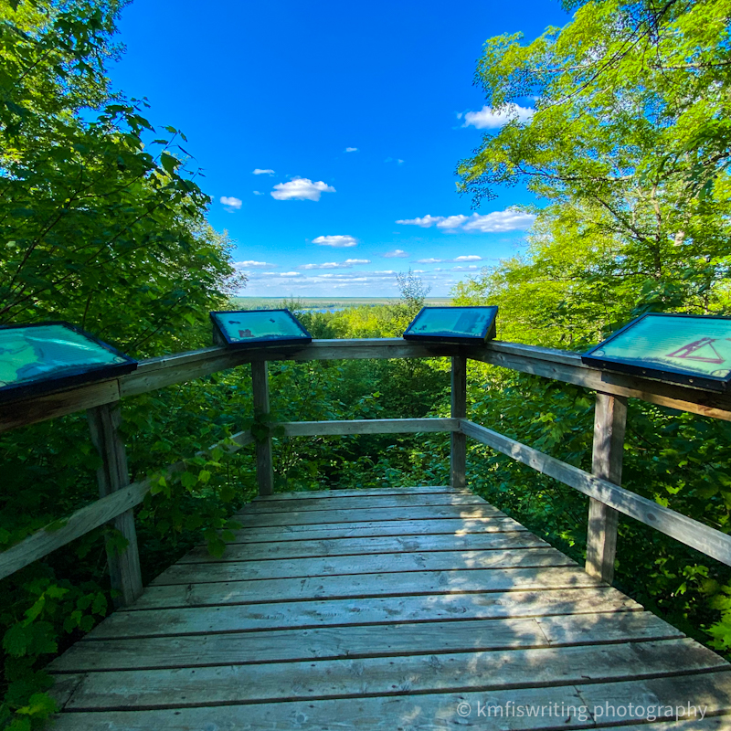
Road Marker Information
Description:
Description from the State Park.
Enter Road Address in your cars GPS:
SHUMWAY LAKE RD MCGREGOR, MN 55760
OR
Enter Geographical Coordinates in your cars GPS:
Degrees Lat Long: 46.846751, -93.175156
Latitude: 46°50’48.3″N
Longitude: 93°10’30.6″W
Country: Aitkin County
Where Found:
Located on county road 36 in Savanna Portage State Park at the trail junction of Wolf Lake Trail and Savanna Portage Trail
Marker Number:200
Marker Composition:
Text on Marker:
SAVANNA PORTAGE CONTINENTAL DIVIDE
The Savanna Portage Trail crosses the continental divide between the Mississippi River and Great Lakes watersheds. Streams and rivers draining to the south and west flow into the Mississippi River and on to the Gulf of Mexico. Those draining to the east flow into Lake Superior and, eventually, into the Atlantic Ocean. The Savanna Portage extended from West Savanna River across the drainage divide to East Savanna River. Although this divide made for a laborious portage, it was an important overland link between two rivers that helped connect two vastly different geographical regions by water. Many generations of Native Americans and, later, fur-trading voyageurs made this trail their route of choice.
During the Ice Age of the last two million years, many glaciers crossed this area, stripping off soil and bedrock and grinding it up as they moved along. This soil and rock debris was deposited along the margins of the melting glaciers in belts of hills called moraines. Meltwater streams that flowed under the glacial ice washed sediment from the lower reaches of the ice and deposited some of it along their subglacial courses. When beyond a glacier’s edge, these streams deposited sediment as outwash plains or carried it into glacial lakes, where it settled to the bottom.
About 14,000 years ago, a melting glacier deposited a moraine along its margin in the Sandy Lake area. As this glacial ice continued to melt, a subglacial stream flowed southwest through the Sandy Lake moraine and deposited a long ridge of sand and gravel. This ridge, called an esker, runs along the southeast side of Big Sandy Lake and extends through much of Savanna Portage State Park.
The meltwater from this glacier eventually collected, forming Glacial Lake Aitkin-Upham, which spread from Aitkin northeast to the Mesabi Iron Range. The Sandy Lake moraine was a peninsula into this lake. The lake had two outlets: one flowing southwest to the Mississippi River, and one flowing east to the St. Louis River. As the lake level lowered, higher ground in the middle was exposed, splitting the lake in two. That higher ground is now part of this continental divide.
Erected by the Geological Society of Minnesota in partnership with the Minnesota Department of Transportation, the Minnesota Geological Survey, and the Minnesota Department of Natural Resources. 2003
Region: NORTHEAST REGION
Information Needed:
- Verify Existance
Condition of Marker:
Do it Yourself Region: BRAINERD-MILLE LACS , IRON RANGE
Verification: NOT INSTALLED YET

