Road Marker Information
Description:
Enter Road Address in your cars GPS:
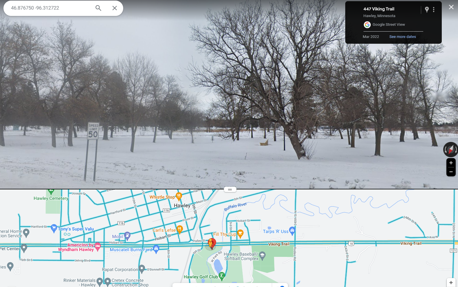
447 Viking Trail, Hawley, MN 56549
OR
Enter Geographical Coordinates in your cars GPS:
Degrees Lat long: 46.876750 -96.312722
Latitude: 46°52’36.3″N
Longitude: 96°18’45.8″W
Country: Clay County
Where Found:
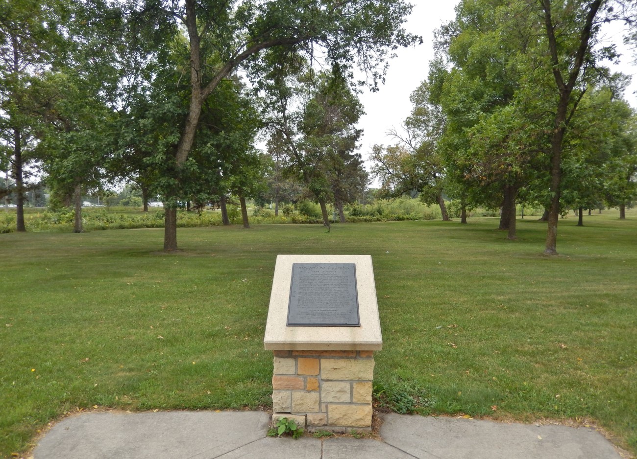
Marker is in Hawley, Minnesota, in Clay County. Marker can be reached from the intersection of Viking Trail (U.S. 10) and 5th Street, on the right when traveling east. The marker is located in Riverbend Park, about 120 yards east of the parking lot.
Marker Number:275
Marker Composition: Stone with Bronze plaques
Text on Marker:
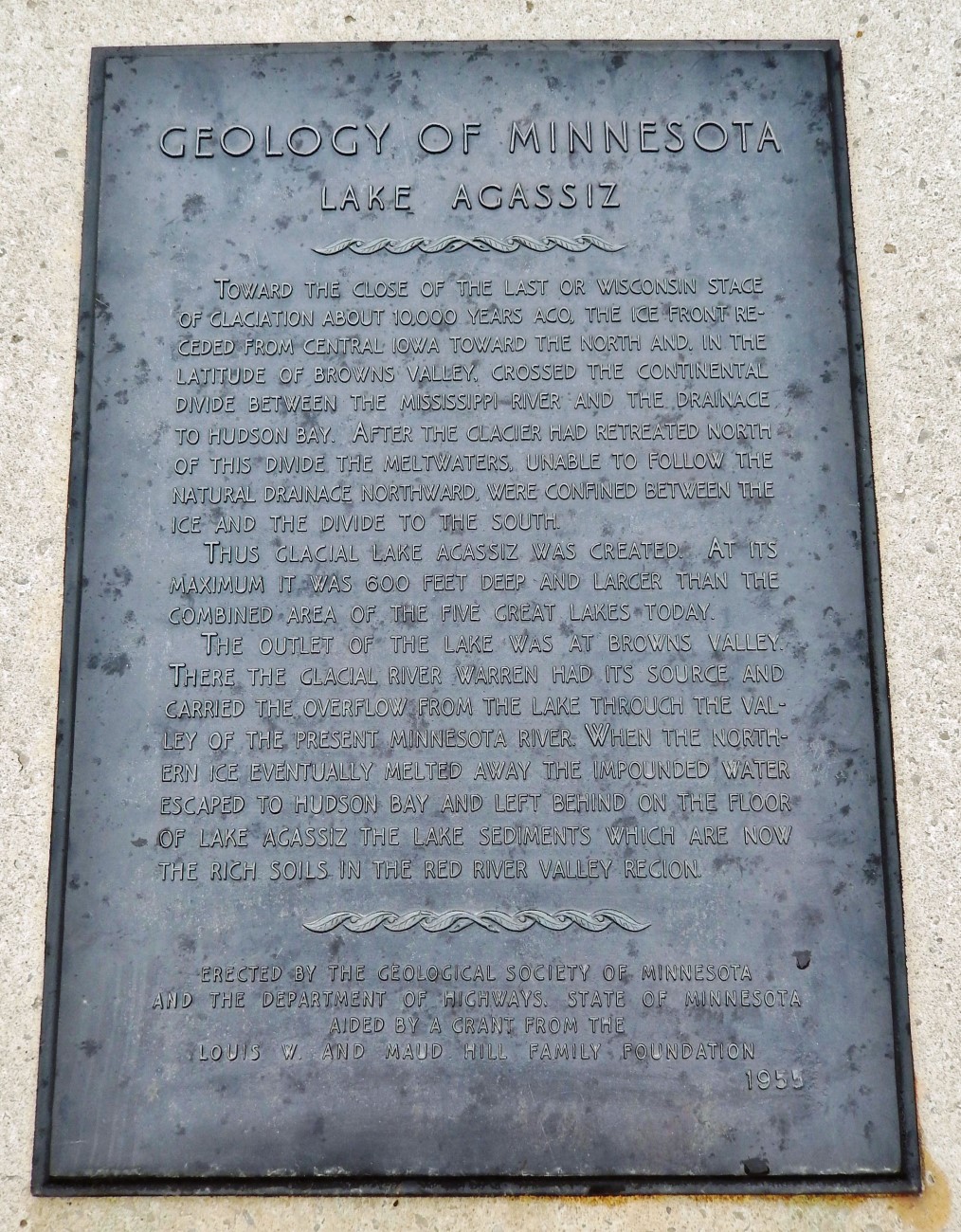
LAKE AGASSIZ
Toward the close of the last or Wisconsin stage of glaciation about 10,000 years ago, the ice front receded from central Iowa toward the north and, in the latitude of Browns Valley, crossed the continental divide between the Mississippi River and the drainage to Hudson Bay. After the glacier had retreated north of this divide the meltwaters, unable to follow the natural drainage northward, were confined between the ice and the divide to the south.
Thus Glacial Lake Agassiz was created. At its maximum it was 600 feet deep and larger than the combined area of the five Great Lakes today.
The outlet of the lake was at Browns Valley. There the Glacial River Warren had its source and carried the overflow from the lake through the valley of the present Minnesota River. When the northern ice eventually melted away the impounded water escaped to Hudson Bay and left behind on the floor of Lake Agassiz the lake sediments which are now the rich soils in the Red River Valley region.
Erected by the Geological Society of Minnesota and the Department of Highways, State of Minnesota aided by a grant from the Louis W. and Maud Hill Family Foundation. 1955
Region: North Central/West Region
Date Updated: 20160727
Information Needed:
- Marker Images
Condition of Marker: Good
Do it Yourself Region: Northwest Corner
Verification: danjap7@yahoo.com


