 Past Field Trip Title: Fens and Springs in Savage Minnesota
Natural Springs of the Minnesota River Valley
The Geological Society of Minnesota will be conducting a field trip on Saturday June 17 from 12 noon until about 3 pm. We will be examining springs in the Minnesota River Valley in Savage, Minnesota. You do not need to sign up for this trip. Simply show up at Stop 1 before noon. Be sure to bring a smart phone to navigate. The stops can be found by entering the latitudes and longitudes provided into Google Maps. This trip is only open to members of the Geological Society of Minnesota. As with all GSM field trips, a signed waiver is required; a blank one is attached to this e-mail; please print it, fill it out, and bring it to the field trip. Multiple names and signatures can be included on one form.
Trip Leaders:
Randy Strobel (651-705-7047) Joan Furlong (651-968-4724)
Randy.Strobel@metrostate.edu jfurlong12345@yahoo.com
If you have any questions prior to the trip, please contact Randy and Joanie. Should the weather seem questionable, please check your e-mail prior to leaving for the trip, as we will communicate any cancellation/postponement that way.
Stop 1: Hiking Trail in Eagle Creek Aquatic Management Area
Location: 44.764343, -93.382176
West 132nd St. between Highway 13 and Eagle Creek Blvd.
We will be parking on the street and walking a short distance to an easy hiking trail.
Stop 2: Boiling Springs
Location: 44.77113, -93.39777
12800 Independence Ave. Savage, MN
Park on the street. The springs are down a short and easy trail. Bring polarizing sunglasses if you have them to best observe the underwater springs.
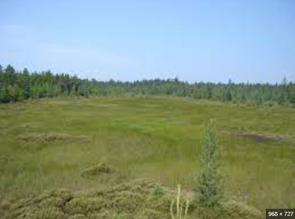
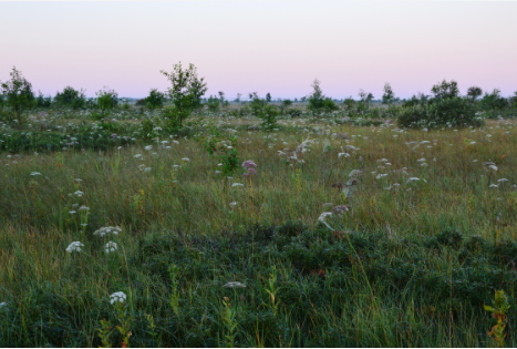
Stop 3: Savage Fen
Location: 44.77195, -93.37322
128th St. east of Highway 13
Be sure to park on 128th St., not in front of the businesses. The fen is down a short easy trail. However, once in the fen, footing is both wet and uneven. Bring rubber boots if you have them. Mosquito repellent is also advised.
The links below provide background information on the areas we will be visiting:
https://www.youtube.com/watch?v=F1_cOZ0YJTc&t=162s
https://www.dnr.state.mn.us/amas/detail_report.html?id=AMA00020
https://mntu.org/exploring-eagle-creek/
https://www.youtube.com/watch?v=Kci0nQlezuU
https://www.youtube.com/watch?v=6SvuTBsDTTo
https://www.youtube.com/watch?v=tK0VRm-C5uU
https://daytripper28.com/minnesota-adventures/how-to-find-boiling-springs-in-savage-mn/
https://www.maxjournalism.com/dailystories/40nc589tcitux3kja9jtxv3wydijh6
https://www.swnewsmedia.com/eagle-creek-access-map/pdf_6b1e2b05-165d-5d5d-a67b-a1c344546121.html
https://mntu.org/wp-content/uploads/2021/02/TU-Newletter-March-2015-2-Eagle-Creek.pdf
https://www.dnr.state.mn.us/snas/detail.html?id=sna00999
https://lowermnriverwd.org/resources/fens-spring
http://lowermnriverwd.org/projects/dakota-county-fen-study-management-plan
https://files.dnr.state.mn.us/natural_resources/water/wetlands/calcareous_fen_fact_sheet.pdf
https://www.fs.fed.us/wildflowers/beauty/California_Fens/what.shtml
Greg Brick sent two pdfs (attached) and these additional links about springs of the Minnesota River Valley.
Playlist on Minnesota springs: https://www.youtube.com/playlist?list=PLl7BtwIjZ4cVjGmo8FnAPyrPlytvcY2lV
Here’s Boiling Springs: https://youtu.be/IxLvKr9AQlg
As far as the springs of the valley generally, the best resource on the DNR website is: https://www.dnr.state.mn.us/waters/groundwater_section/mapping/springs-msi.html
Location: 44.764343, -93.382176
West 132nd St. between Highway 13 and Eagle Creek Blvd.
We will be parking on the street and walking a short distance to an easy hiking trail.
fffffffffffffffffffffffffffffffffffffffvvv
ukyukyukykyukyk
con clousion
